
Start Galloway Neighbors With a Block
For Galloway neighbors, the public-record unit is a parcel block, not a social circle. Start with a known address and work outward through tax-map lot lines. Record a neighboring address, block/lot, parcel class, visible owner of record, deed date, and map source. A visible owner field is evidence about a dated land record. It is not evidence that the person is present at the property. When a field is absent or protected, retain the parcel relationship and do not replace it with a guess.
| Block source | What it shows about the block | Access |
|---|---|---|
| NJGIS parcel layer | Address, municipality, block/lot, parcel class, and visible parcel attributes | Official address, county, municipality, block, and lot search |
| Atlantic County tax map | Lot lines, road labels, map sheet, subdivisions, and directly adjoining parcels | County map directory and GIS route |
| Atlantic County Clerk index | Recorded parties, document date, book/page, and linked land instruments | Free guest search, office terminal, specific copy request |
| Planning and public notices | Applications, variances, site-plan roles, and street or parcel changes | Township agendas, notices, office records, or narrow OPRA request |
| Community and historical sources | Dated civic roles, locality clues, maps, and public programs | Township, Historical Society, library, and community-service routes |
The state voter-status form is for a person checking that person's own status. A statutory request under Title 19 is a separate process and should be treated as time-bounded registration material, not a general block directory.
Read a Galloway Tax Map by Date
The Galloway tax-map sample, Sheet 0025.02, is dated January 2007. It shows block and lot lines, road labels including Old/New York Road and Ocean Avenue, subdivision markings, and legends for municipal-owned property and disabled-veteran status. The sheet is a useful example of the information a map can hold, but it is not a map of every Galloway block. Locate the correct sheet through the county municipal-tax-map route before describing any boundary or adjacent parcel.
Use the map to identify direct lot relationships, then compare the map date with later deeds and assessment records. Atlantic County GIS supplies parcel and geographic context, but its mapping is not survey-grade. A survey question needs the controlling deed, plat, survey, or advice from the appropriate public office. A map screen alone should not settle a line dispute.
Map a Galloway Block With Records
The block method keeps a Galloway neighbor lookup focused on adjacent parcels and dated evidence. It is deliberately narrower than researching an entire road. The following flow works when the street address is known and the municipal property link is unavailable. Galloway's GovPilot property-information link returned a 404 during research, so it should not be treated as a working lookup.
- Find the subject address in the NJGIS parcel layer or NJ Property Explorer. Note Galloway Township, ZIP, block, lot, and parcel class.
- Use the Atlantic County map route to find the relevant sheet, then list only directly adjoining parcels with their address and block/lot.
- For each neighboring parcel, retain the visible owner-of-record field if it is lawfully displayed, its source date, and any deed date or book/page found in the Clerk index.
- Check permits, Planning/Zoning agendas, or notices for a defined property or project lead. Do not convert an applicant, attorney, engineer, or owner role into an address claim.
For a full road-by-road chain rather than the immediate block, use the Galloway street directory. The broader search adds assessor, deed, permit, and historical-address steps without changing the limits on personal information.
A useful block index has separate columns for the subject address, adjoining address, block/lot, map sheet and date, parcel class, visible owner-of-record field, deed date or book/page, assessment-year note, and planning or permit lead. Add a directory, census, or newspaper date only when that material is actually inspected. This format makes it possible to revisit one item without implying that a map relationship, a historic listing, and a current personal fact all mean the same thing.
Find Galloway Civic Community Leads
Galloway's documented community structures can provide public civic context, but none is a roster of people on a block. The Galloway Township Historical Society supports local-history research, maps, photographs, and the 1872 Atlantic County map project. Community Services identifies township-supported organizations and programs, including GTAA and PAL. Go Green Galloway and the Sustainability office identify a Green Team/task-force structure, community garden, Green Market, Clean Communities activity, and partnerships with residents, nonprofit groups, community leaders, and government.
| Public community lead | Useful record context | Boundary of the source |
|---|---|---|
| Galloway Historical Society | Historic road, locality, family, map, and photograph context | Not a current address directory |
| Community Services, GTAA, and PAL | Township-supported programs, facilities, events, and organization leads | Public program context, not household evidence |
| Go Green Galloway and Sustainability | Public projects, task-force activity, gardens, markets, and clean-up efforts | Participation cannot establish a home address |
| Advisory boards | Named public civic roles and appointment context | Role or meeting record only |
Visit the Galloway Community Services listing for the official program and organization context.
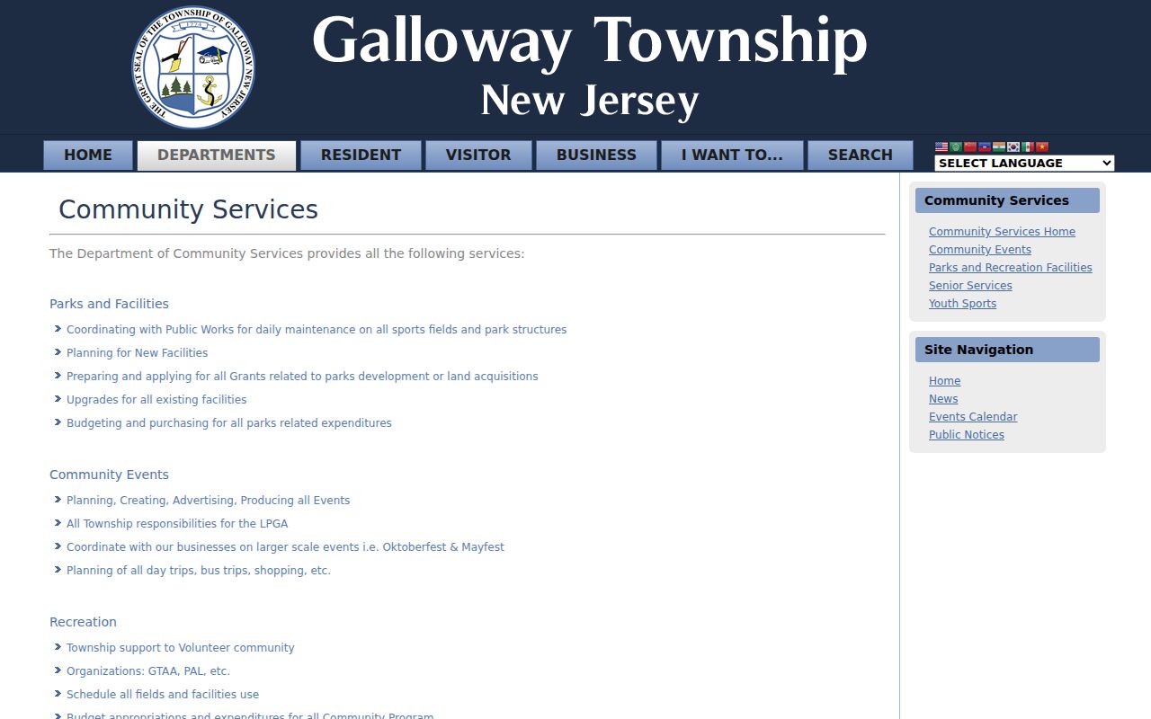
Community Services is useful for locating public programs and civic leads connected with Galloway, while leaving residence claims to appropriately dated official records.
The township's advisory-board directory identifies the Planning Board, Zoning Board, Environmental Commission, Veterans' Advisory Board, Parks and Recreation Advisory Committee, Economic Development Committee, and Equal Opportunity Advisory Committee.
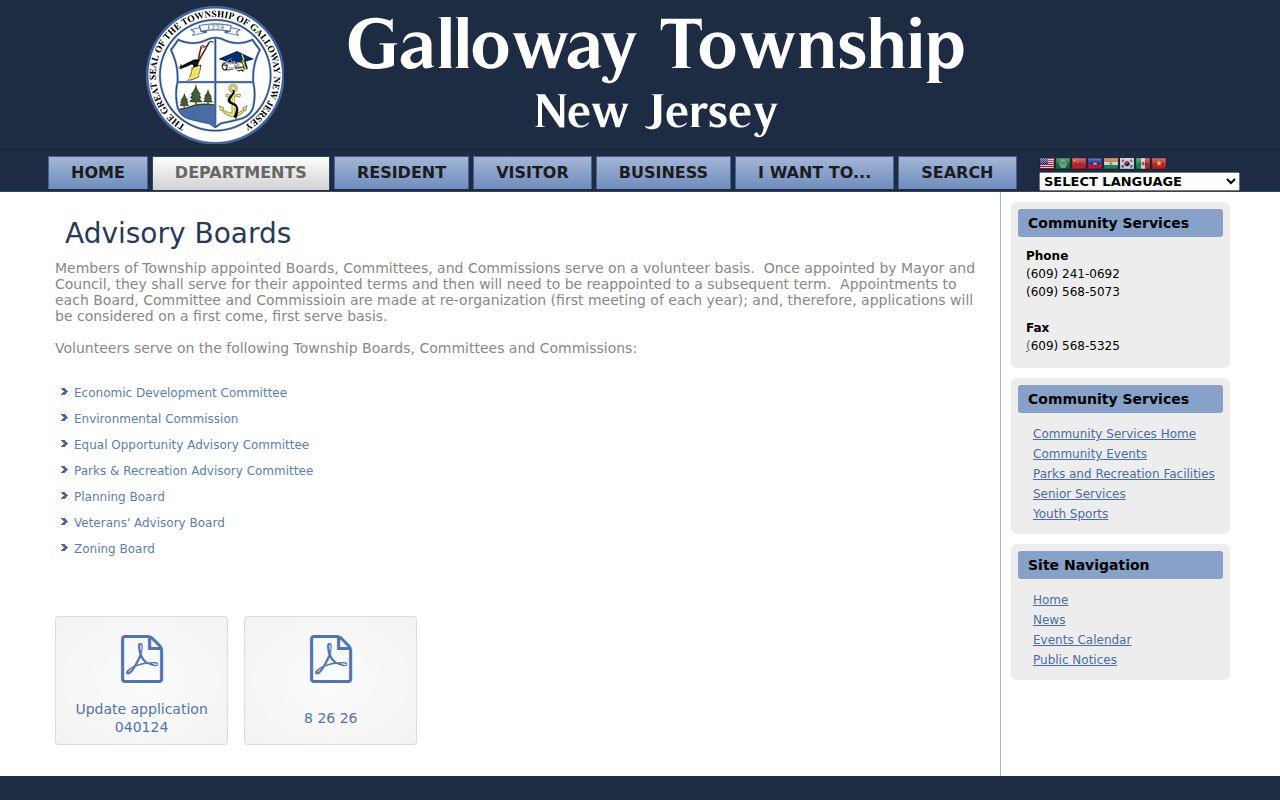
Those pages support public civic-role research by committee and year, not a private neighborhood association directory or a claim about where a board member lives.
Compare Sources for Galloway Neighbors
Official records and commercial neighbor-lookup tools answer different questions. Official sources make it possible to inspect the record type, source date, legal parcel key, and stated access limit. Commercial tools may combine records from different dates and make a result look current when it is not. For a block question, the map, parcel record, Clerk index, and public notice give a researcher a way to check each claim at its origin.
| Source category | Best use | Check before relying |
|---|---|---|
| Official parcel, map, deed, or notice | Documented parcel geography, recorded event, or public project role | Map date, recording date, legal key, and privacy redactions |
| Official voter channel | Personal self-status or a properly requested defined-period list | Custodian, legal route, period, permitted fields, and redactions |
| Commercial neighbor-lookup category | Possible lead to verify at an official source | Source date, mixed identities, omissions, and whether a result has changed |
A lead without a record date is not enough. Keep a source URL, access date, parcel key, and the precise field that supports a conclusion.
Use Galloway Planning Notices as Leads
Planning and Zoning material can explain why a block changed. The Planning Board generally meets on the first and third Thursday at 6:00 p.m.; the Zoning Board generally meets on the second Thursday at 6:30 p.m. The township posts agendas and annual public notices, with notices also available in the municipal-complex lobbies. Capture the meeting date, agenda item, block/lot, and role exactly as published.
An agenda or notice may name an applicant, owner, engineer, attorney, subdivision, variance, or site-plan professional. Those are public property and civic leads. They do not identify an occupant, and the appearance of a name in an application does not establish a home address. For an older or missing file, direct a narrow request to Planning/Zoning or the Township Clerk with the address or block/lot and date span.
Use Galloway Voter Channels Lawfully
Galloway has 17 voting districts. The state Am I Registered? route is intended for the individual checking personal registration status, so it is not a way to search a block. N.J.S.A. 19:31-18 provides the separate voter-list route. Ask the appropriate Atlantic County elections custodian for the current format, charge, date cutoff, and protected-field rules before making a request.
A permitted list result documents registration for a defined time. It does not prove current residence or identify everyone at a property. Never seek or publish protected addresses, signatures, driver-license information, or other sensitive administrative fields. Keep the request purpose, record period, and source alongside any lawful result.
Note: An address absence in one official index does not prove that a person has left Galloway or that a parcel is unconnected with local history.
Keep Galloway Localities Separate
Neighborhood labels in Galloway often describe a locality, village, corridor, or historical index heading rather than a legal boundary. Official locality results include Pomona, Smithville, Oceanville, Pomerania, and Somersville. The 1981 regional directory also names Conovertown, Oceanville, Seaview Park, Absecon Highlands, Pinehurst, and Pomona in partial Galloway coverage. Use these names as search variations and preserve the original label in notes.
Smithville is described along Route 9 between Old New York Road and Jersey Woods Road. Oceanville is described around Old Port Republic Road, Leeds Point Road, Route 9, and Great Creek Road. Confirm a particular parcel through Galloway Township and block/lot rather than treating a locality name as a boundary or a household list.
Protect Galloway Neighbors' Privacy
A Galloway neighbor lookup should stop at the boundary of what the record actually establishes. Daniel's Law shields covered home addresses and unpublished home telephone numbers on government websites. NJGIS states that owner names can be redacted from hosted parcel and tax-list databases and map services. If a parcel's owner field is blank, do not backfill it from a different source or presume the omission is a mistake.
The New Jersey Address Confidentiality Program provides a lawful substitute address for qualifying people. Other records can restrict personal identifiers, signatures, unlisted telephone numbers, and information about minors. A correction, suppression, or exemption request belongs with the custodian of the affected record. A public counter record does not authorize a broad personal dossier.
The New Jersey Office of Information Privacy explains the Daniel's Law protections that can affect a Galloway neighbor record.
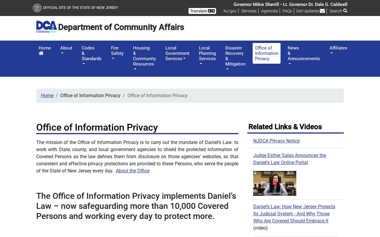
Address shielding is a legal limit, not a data gap to be filled from a different search or a reason to contact a protected person.
Lawful use. Use Galloway neighbor records for personal, historical, property, or civic research. Do not use a block search to watch, stalk, harass, intimidate, or harm anyone.