
Galloway ZIP Code Directory Coverage
Only one current Galloway postal code is repeatedly confirmed by official township addresses and official USPS material: 08205. It is the delivery code used for the municipal complex and the Galloway Library, and it appears with Galloway and Oceanville-area addresses. The research did not locate an exhaustive official route list for every road, ZIP+4 range, or post-office assignment. The table therefore distinguishes confirmed evidence from history and leaves unverified postal codes out.
| Postal code | Galloway areas and leads | Post-office reference | How to read it |
|---|---|---|---|
| 08205 | Galloway, Oceanville, Pomona, and Smithville-area address leads | Official township examples and USPS material associate the area with 08205. | Confirmed current postal code; check each street address with USPS. |
| 08201 | Absecon and border-area history | Postal Bulletin documentation records a later delivery reassignment. | Historical or adjacent reference, not a current Galloway ZIP without an address result. |
| Other ZIPs | No official Galloway-proper coverage located | No verified assignment in the research. | Do not add a speculative code for a map, locality, or nearby town. |
A ZIP is a delivery-routing label. It can cross a municipal edge, use a mailing city that differs from the legal township, or include a special delivery pattern. A ZIP result should always be read alongside the street address, the parcel municipality, and the record date.
Galloway 08205 Postal Core
Galloway's official addresses provide the soundest local evidence for 08205. The municipal complex uses 300 East Jimmie Leeds Road, and the Galloway Library uses 306 East Jimmie Leeds Road, both with Galloway, NJ 08205. Official USPS material also associates Galloway and Oceanville-area deliveries with 08205. Those examples establish a current local core, but they do not prove that every road or delivery point in the township shares the same code.
For an exact address, use the current USPS address lookup, record the ZIP and city line returned, then compare it with the municipality shown in state parcel data. This is more reliable than using a map label or an old directory heading. It also respects the research gap: no single official source located a complete current route list or universal ZIP+4 range for Galloway.
Note: A postal city line is useful for mail, but it is not the legal definition of Galloway Township.
Galloway ZIP Code 08201 Change
Postal code 08201 belongs in Galloway history, not as a second current township code. USPS Postal Bulletin 22050 records that effective July 1, 2001, a portion of deliveries previously using 08201 should use “Galloway NJ 08205” as the last line. That documented change explains why older material can show 08201 for an address tied to a later Galloway search.
The record does not authorize a reverse claim that all present Galloway streets use 08201 or that all historic 08201 entries fall within Galloway. Treat it as an older or adjacent Absecon-area lead. Run the street number through a current USPS result before attaching a postal code to a modern address.
Check a Galloway ZIP Code by Address
The USPS postal basics explain why ZIPs are delivery constructs rather than town lines. A precise delivery search needs the street address, city, state, and ZIP when known. The official source review did not expose the live control labels or requiredness of every field, so follow the current USPS form as it appears rather than assuming a result format.
The USPS guidance is the first address-level check for a Galloway ZIP directory entry.
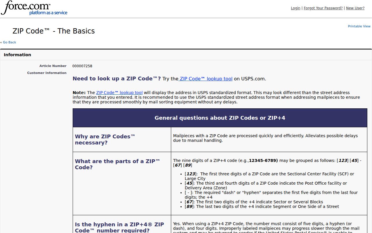
Copy the returned postal line exactly, then compare the street with the municipality and parcel record before treating it as a local records filter.
- Enter the complete street address into the current USPS address lookup and save the delivery ZIP and city line.
- Search the address in the New Jersey parcel layer and confirm the municipality is Galloway Township.
- Record the block and lot when displayed, then use that stable key for the county tax map and deed index.
- Label the results separately as mailing ZIP, legal municipality, and historical locality. Do not treat a ZIP match as a resident list.
Find Records Through a Galloway ZIP Code
A ZIP can narrow an address question, but the documented public portals do not offer a universal Galloway resident search by postal code. The NJGIS parcel page accepts address, county, municipality, block, and lot searches. Its ArcGIS result schema exposes a ZIP_CODE output beside address and municipal fields. NJ Property Explorer describes location or owner and block/lot access, with ZIP visible in output where available. The municipality and parcel key remain the safer search controls.
| Portal field or output | Role in a Galloway ZIP search | Important limit |
|---|---|---|
| Address | Documented NJGIS search input for a complete street search. | Normalize road suffixes and use the legal municipality. |
| County and municipality | Use Atlantic County and Galloway Township to narrow parcel context. | A locality label alone may not be the legal municipality. |
| Block and lot | Stable crosswalk to a tax map, deed, and parcel record. | It is not a postal delivery code. |
| ZIP_CODE, ST_ADDRESS, CITY_STATE | Parcel result fields that help compare postal formatting. | ZIP_CODE is documented as output, not an exact confirmed input filter. |
| Owner name | May appear in a result where lawfully visible. | Daniel's Law can suppress it, and it does not prove occupancy. |
The county deed index is organized by party, date, document type, book/page, and linked document, not a documented ZIP filter. The Galloway municipal property link returned 404 during research, so a local ZIP filter is not verified. Once a postal code has narrowed the area, the Galloway street address directory provides the address-by-address record trail.
Election data needs the same restraint. ZIP and municipality can occur as administrative voter fields, yet the public status form is for the person checking that person's own record, not a neighborhood search. A voter-list request goes through the proper Atlantic County elections custodian under N.J.S.A. 19:31-18, with the date, requested format, fee, and statutory redactions confirmed first. Use any list only as a dated registration record and never as proof of a current Galloway household.
Galloway ZIP Code ZCTA Geography
The Census uses ZIP-tabulation areas, called ZCTAs, for generalized statistical geography. A ZCTA is not the same thing as a live USPS delivery boundary. Unique ZIPs, post-office boxes, noncontiguous delivery areas, rural routes, and border streets can make a map polygon a poor proxy for the postal line at one house. Read “USPS ZIP 08205,” “Census ZCTA 08205,” and “Galloway Township” as three distinct geographic labels.
The Census ZCTA guidance is useful for understanding that distinction when a Galloway ZIP directory is paired with a map or statistic.
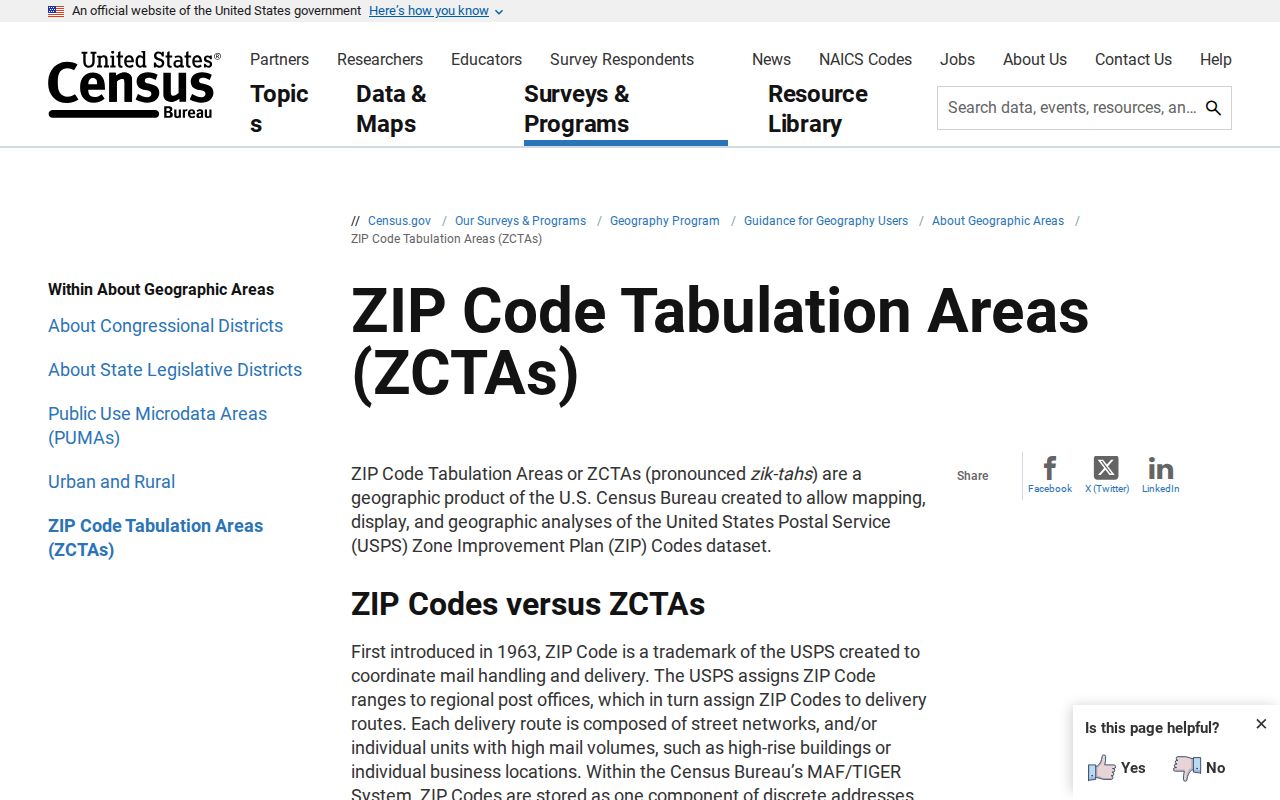
Use ZCTAs for broad statistical context, then return to USPS and parcel sources for a specific Galloway delivery or municipal question.
Galloway ZIP Code Boundary Limits
Postal boundaries and Galloway municipal limits do not serve the same purpose. A road can carry a mailing city different from its legal municipality, and a historical locality can survive in a directory long after the address format changes. For a record search, confirm MUN_NAME or the equivalent municipality field in parcel data, then retain the postal ZIP as a separate delivery fact. Do not infer an owner, occupant, or neighborhood roster from a ZIP-wide return.
- ZIP and ZIP+4
- The five-digit ZIP directs mail to a broad delivery area. ZIP+4 adds a smaller delivery segment and should be checked for the exact address.
- PO-box ZIP
- A code used for post-office boxes. It does not define the delivery territory around the post office.
- Unique ZIP
- A postal code assigned to a single organization or delivery arrangement. It is not a municipal boundary.
- Carrier route
- A postal delivery grouping within an area. It can change and is not a legal parcel or city limit.
Boundary check. Use an exact postal lookup for delivery, parcel data for municipality, and a county tax map or deed for the legal property trail. Keep protected address information protected.
Galloway ZIP Code Locality Gaps
Search locality variants when an address is missing from a first attempt. Galloway, Oceanville, Pomona, and Smithville can appear as mailing or historical labels, while the official locality list also includes Pomerania and Somersville. For an older directory or deed, compare the street name, nearby cross streets, and the parcel's block and lot. A road's postal label can change without changing the legal parcel.
The USPS Postmaster Finder is a historical and reference source that warns its data may not be current. It can help explain an older Galloway postal reference, but a live address result controls the present delivery question.
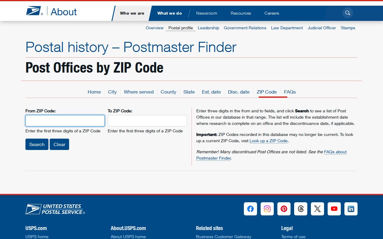
The image supports historical orientation only. It should never replace a current USPS lookup or establish a current post-office assignment for a Galloway road.
When the current result and an older record disagree, preserve both dates and ask the Township Clerk or Planning/Zoning office for road naming, subdivision approval, address assignment, or 911-addressing records if the question requires it. No township-wide renumbering date or before-and-after crosswalk was located, so do not invent one.
County tax maps and recorded deeds give a stronger legal crosswalk than a postal label. Search the current street name, a historical road name, and nearby cross streets, then keep the parcel's block and lot with every result. Route 9, Old New York Road, Jersey Woods Road, Old Port Republic Road, Leeds Point Road, and Great Creek Road are documented Galloway corridors that can help normalize an older location string. The legal parcel may remain stable even when its mailing city or ZIP changes.
For a disputed delivery line, retain a dated screenshot or printout from the current postal result and give the exact street address to the custodian. The Township Clerk can route municipal questions, while county parcel, tax-map, and deed sources can confirm the municipality and legal property key. That documented chain is stronger than a remembered locality label.